Exploring the unexplored of the Arctic seabed
Author: UNB Research
Posted on Sep 21, 2021
Category: Research
University of New Brunswick researcher Dr. Ian Church is exploring the never-before-seen depths of the Arctic Ocean, and he wants you to be able to discover this hidden terrain by making his results widely accessible.
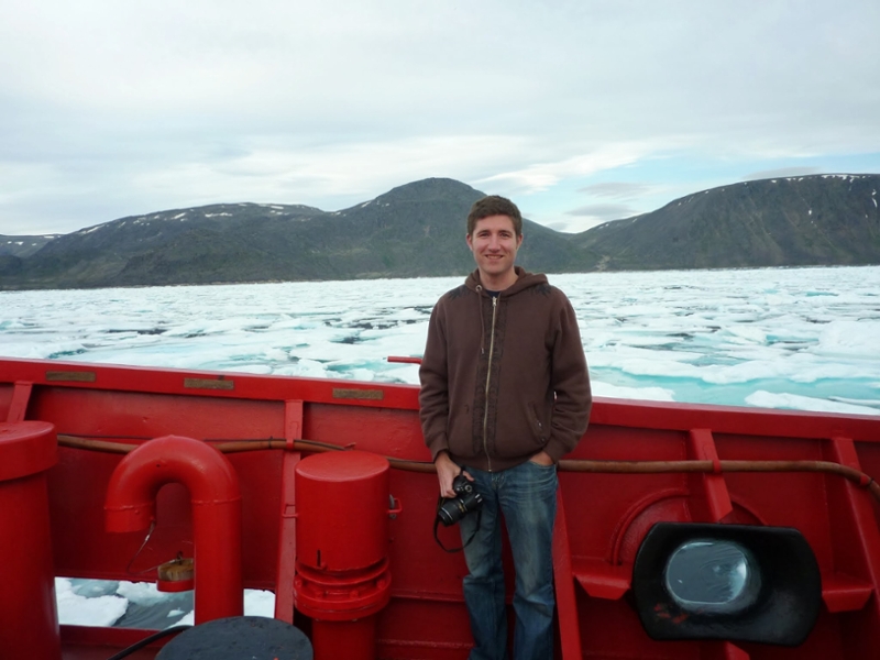
Dr. Church is a professional engineer and an associate professor of Geodesy and Geomatics Engineering who heads up UNB’s Ocean Mapping group. His Arctic Seafloor Mapping Data Processing and Dissemination research project uses specialized technology to map the ocean.
Earth's last frontier
Dr. Church, who completed his undergraduate degree, master's and PhD at UNB, says he was drawn to the field by the realization that our ocean is one of the last places on earth that we have yet to explore.
“Its sort of one of these last frontiers; to be able to go out and survey an area, especially in the Arctic, and realize you’re likely the first person to see the stuff that you’re mapping is exciting,” says Dr. Church.
Dr. Church estimates that about 80 percent of the ocean floor is unexplored, something that is highlighted by the recent Nippon Foundation-GEBCO Seabed 2030 Project initiative. Unlike land, which is easily observed from satellite images (such as those you see on Google Earth), we can’t see through deep water.
Seeing with sound
Dr. Church explains that you need to use sound navigation and ranging, more commonly known as sonar, to figure out what the sea floor looks like. The system attaches underneath the boat and essentially measures how long sound takes to travel from the bottom of a boat to the seafloor and back again as the ship passes over. Dr. Church’s research program works specifically with what is called a multibeam sonar which measures an entire area at once, compared to single beam solutions that are only able to measure a single line to the seafloor.
The data collected by the multibeam sonar requires manual correction, which is a time-consuming process when dealing with months worth of data. So, Dr. Church and his group are looking to automate the processing necessary for extracting useful information, including how deep the ocean is and whether the seabed is sandy, rocky, or muddy, among other things. With this knowledge, we can create better nautical charts, which are navigational maps that are required to be onboard every ship by law. Creating better maps of the Arctic, as very few currently exist, is one of the main goals of the research program.
Increasing safety at sea
Decreasing ice in the Arctic by the year encourages more boats to travel through, but with only a small percentage of the ocean mapped, they aren’t necessarily equipped to travel safely. With so little information about the depth of the water and what lies on the ground beneath, it becomes very easy for watercraft to run aground. When this happens in remote areas, help can be hard to come by: there are few, if any, ships around to help, and accessing resources like search and rescue or hospitals is extremely difficult.
Dr. Church notes that collecting more data, and thus creating better maps of the Arctic Ocean, will make it less likely for people to run into trouble. But, if an issue does occur, better maps will also help other vessels to render aid. Having better and more accessible data of the seabed encourages comfortability for ships at sea, which will hopefully enhance the Arctic tourism sector and economy.
Further, Dr. Church and his group are looking to contribute to digital crowdsourcing platforms to make Arctic seafloor and surface information more readily available to northern communities. During the summer months, the data would allow people to see how deep waters are, and whether the seabed is hard or soft, which helps with fishing and travel.
An underexamined field, but one where UNB dives deep
Dr. Church notes that while this field is important, ocean mapping is not a common research area in North American universities. UNB’s Ocean Mapping Group was established in 1991, seeking to fill a research void in Canada. Researchers quickly realized that this need for ocean mapping was in fact felt globally, and the group grew as a result, notes Dr. Church, who describes UNB as the “birthplace” of the focus area.
“Ocean mapping is a critical part of our world,” says Dr. Church, referring to its key function in navigation in addition to many other essential roles it plays in various marine aspects such as understanding how water circulates, where marine life lives, and how to best ship cargo between points.
With such broad impact and importance, and so much of the ocean left to map, it’s no surprise Dr. Church and his team are excited to be part of such a significant project.
More information
Dr. Ian Church (orcid) | Ocean Mapping Group | Department of Geodesy and Geomatics Engineering | Faculty of Engineering
Research at UNB | Graduate Studies at UNB | Postdoctoral fellowships