Alumni Spotlight: Scott Warren
Author: Dylan Foote
Posted on Apr 12, 2021
Category:
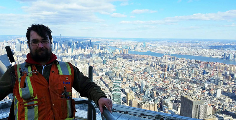
Scott Warren on top of Freedom Tower, New York City
“…These sites would all prove to have unique challenges in laser scanning and surveying, giving me the opportunity to use the skills gained at UNB to repeatedly succeed in project execution. There was little room for error when working on these projects, and the foresight gained by working with the faculty in GGE helped navigate some very tricky technical situations.”
Introducing our next Alumni Spotlight, Scott Warren!
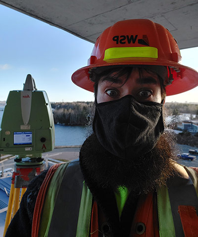
Upon graduation in 2015, Warren left Canada to start his career in the United States of America. His first job took him to New York City as a laser scanning technician. Laser scanning and reality capture would soon become Warrens specialty.
Laser scanning is a rather new and innovative technology within the field of geomatics. It utilizes the newest equipment to document our world with lasers and high-definition imagery. Using laser scanning, we can document a project site to millimetre accuracy, giving a granular level of investigation to all parts of a project. “We've been able to use laser scanning for accident reconstruction, historical preservation, virtual reality environment creation, deformation monitoring, crash detection and analysis, as well as modeling our built environment for AutoCAD, BIM [building information modeling], and as 3D models,” Warren pointed out. We can also create a digital replica or “digital twin” of the project and object being measured.
With this specialty, Warren has worked on many unique and interesting projects. “I've laser-scanned the roof and spire of the new Freedom Tower (former World Trade Center site), the subway and transit tunnels, and various landmarks within the Big Apple,” says Warren. After this, Warren later moved to New Hampshire and worked in the New England area, with a focus on Boston and Massachusetts.
Because of additional constraints brought forth during the COVID-19 pandemic, laser scanning has become a more popular and advantageous tool. This technology allowed “us to leverage new geospatial tools to keep our teams offsite, using the digital twins we created to limit field visits,” Warren explains. He further added that “this led to real collaboration between internal engineering departments, working together to solve issues as a true inter-disciplinary approach, bringing surveying to the forefront of each new project.”
“I've come to learn about all these topics in a hands-on way, helping see how geospatial tools can fit within larger projects, and be used like a scalpel to carve out critical engineering data. GGE gave me the opportunity for world-wide employment and the skills to excel in the complex field of engineering, which I have been able to use to great effect in my personal career. Work feels like play most days, which is about as good as it gets!”